Schlagwort-Archive: hiking

230420 – Malargüe >

Donnerstag / Thursday, April 20, 2023

Tag 368 / 344 – Malargüe

Eigentlich wollten wir heute früh zu den Cuevas de las Brujas, den Hexenhöhlen, fahren. Auf IOverlander lesen wir gerade noch rechtzeitig, dass man vorher Tickets in Malargüe beim Tourism Office kaufen muss, vor Ort geht es nicht. Das bedeutet, 60 km nach Norden fahren, Tickets besorgen und dann wieder retour. Wir sind unsicher, ob wir das wirklich machen wollen, verschieben die Entscheidung aber bis zum Eintreffen im Tourismusbüro. 

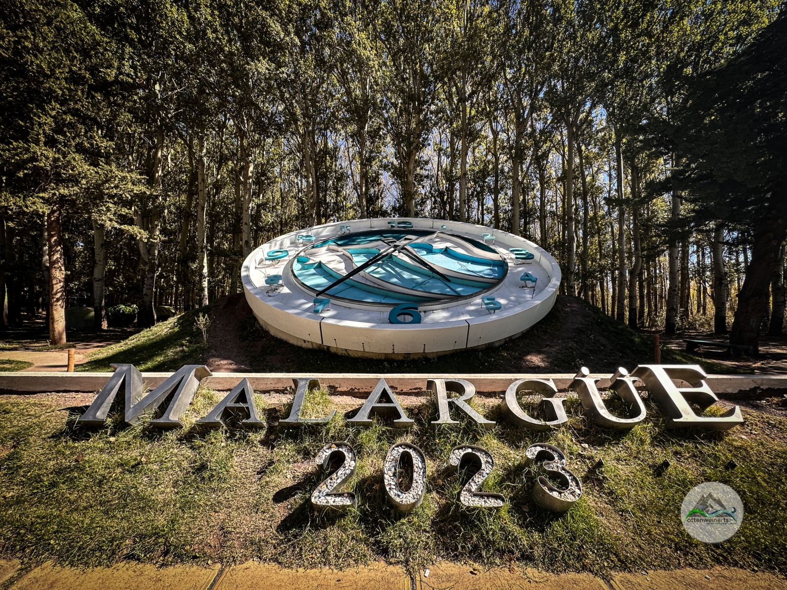
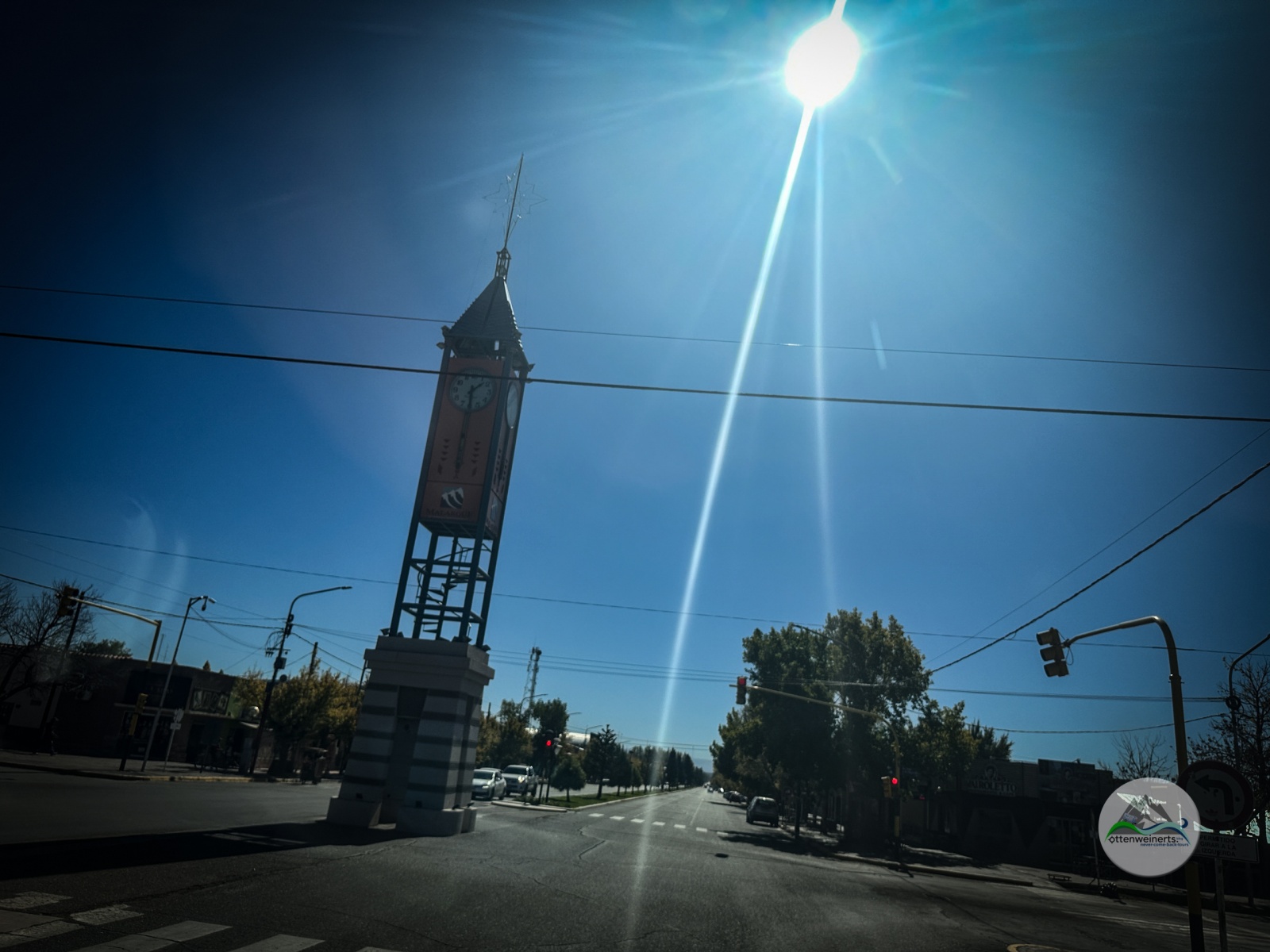
In Malargüe grüßt uns das Wahrzeichen der Stadt, ein Turm mitten auf der Hauptstraße. Wir tanken, machen Kaffeepause und suchen dann das Tourismusbüro. Die Damen dort sind ausnehmend nett, aber Tickets für die Hexenhöhle kann man hier nicht kaufen, das geht nur online bei der Website der Argentinischen Nationalparks. Wir haben zwar gestern noch im internet nach Informationen gesucht, aber diese website haben wir nicht gefunden. Man hilft uns bei der Reservierung für morgen vormittag, das klappt ja auch, aber zahlen können wir nicht online. Wir versuchen, uns bei einer argentinischen Zahlungsplattform zu registrieren, aber das funktioniert nur mit einer nationalen ID. Also müssen wir bei einer der Pago fácil Filialen bar einzahlen gehen, man gibt uns die Adresse. Aber natürlich erst nach der Mittagspause, und die dauert bis 17 Uhr hier (Jawohl, Mittagspause von 13 bis 17 Uhr!)

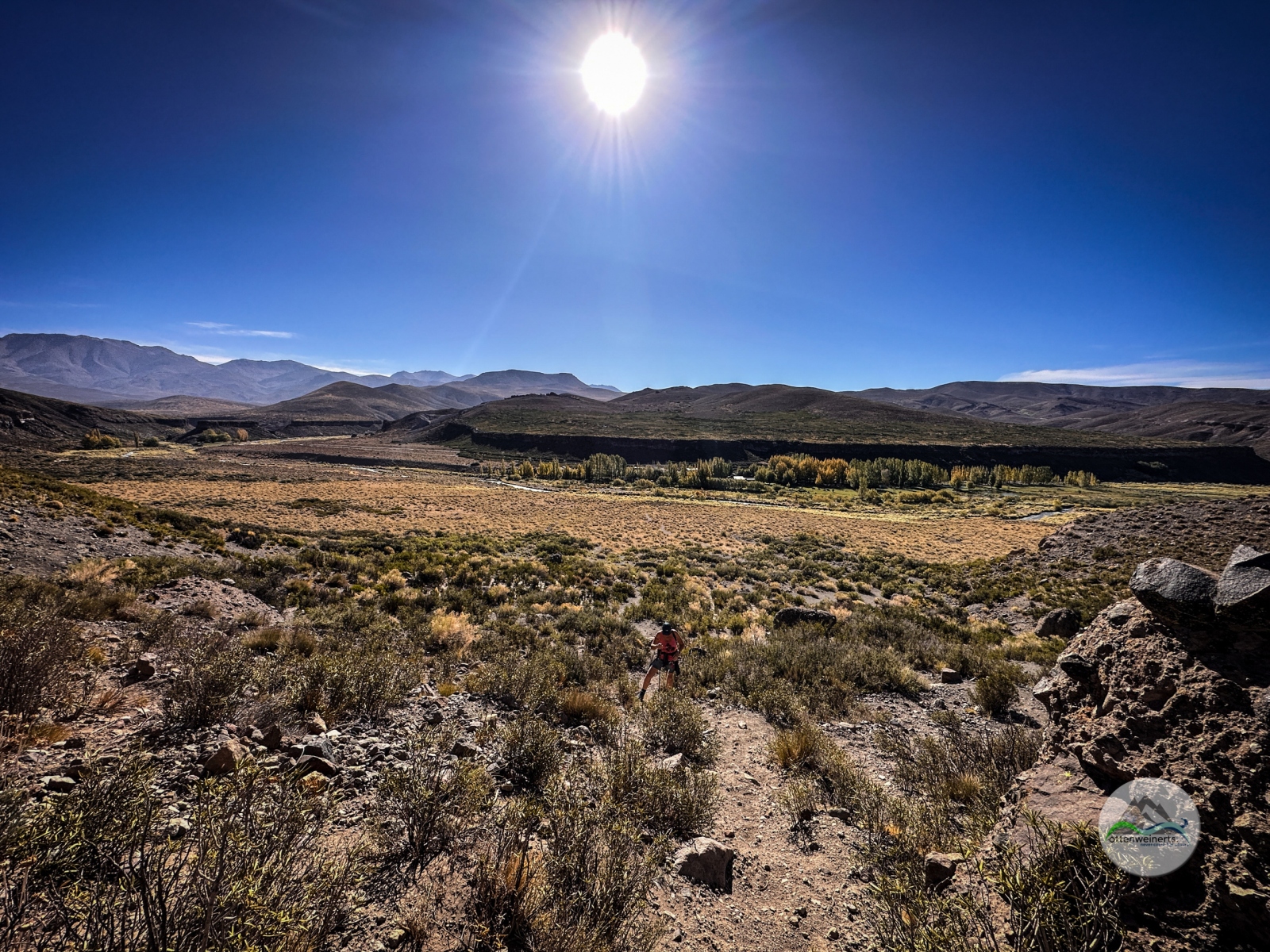
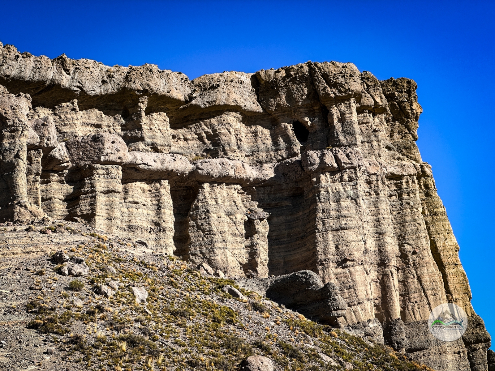
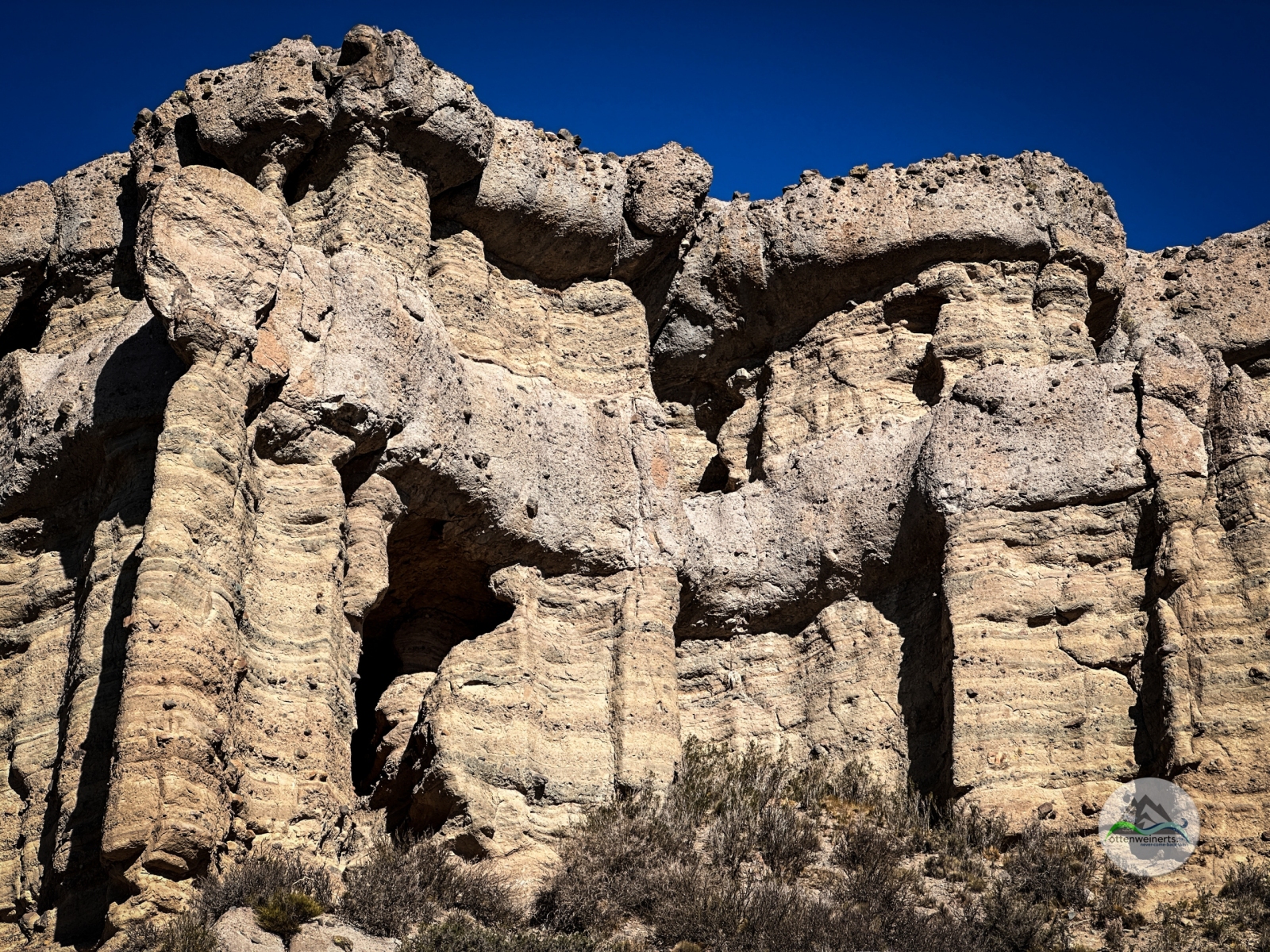
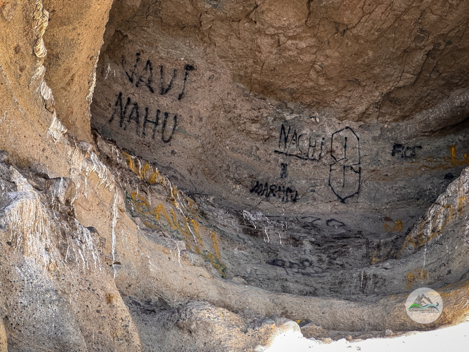
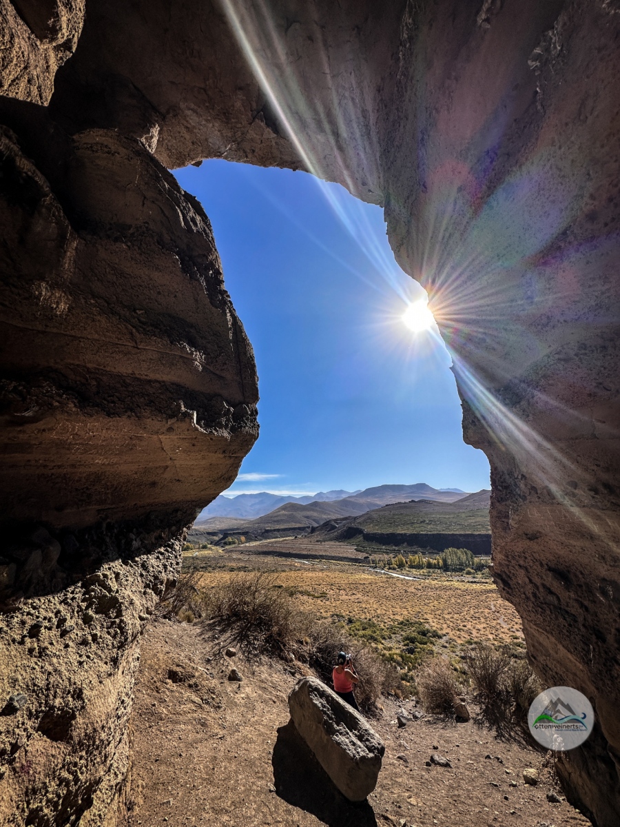
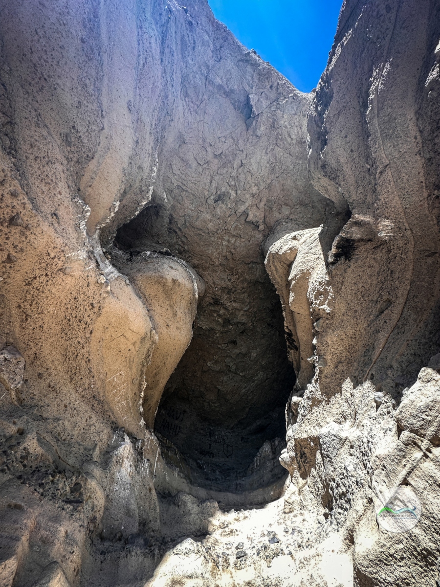
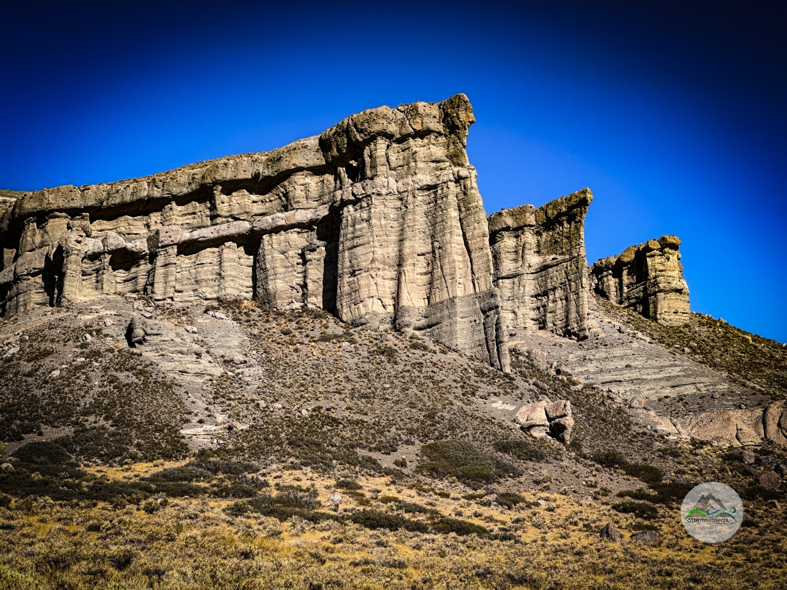
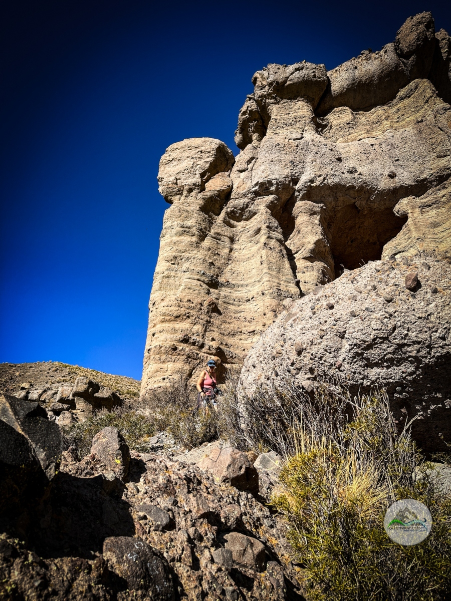
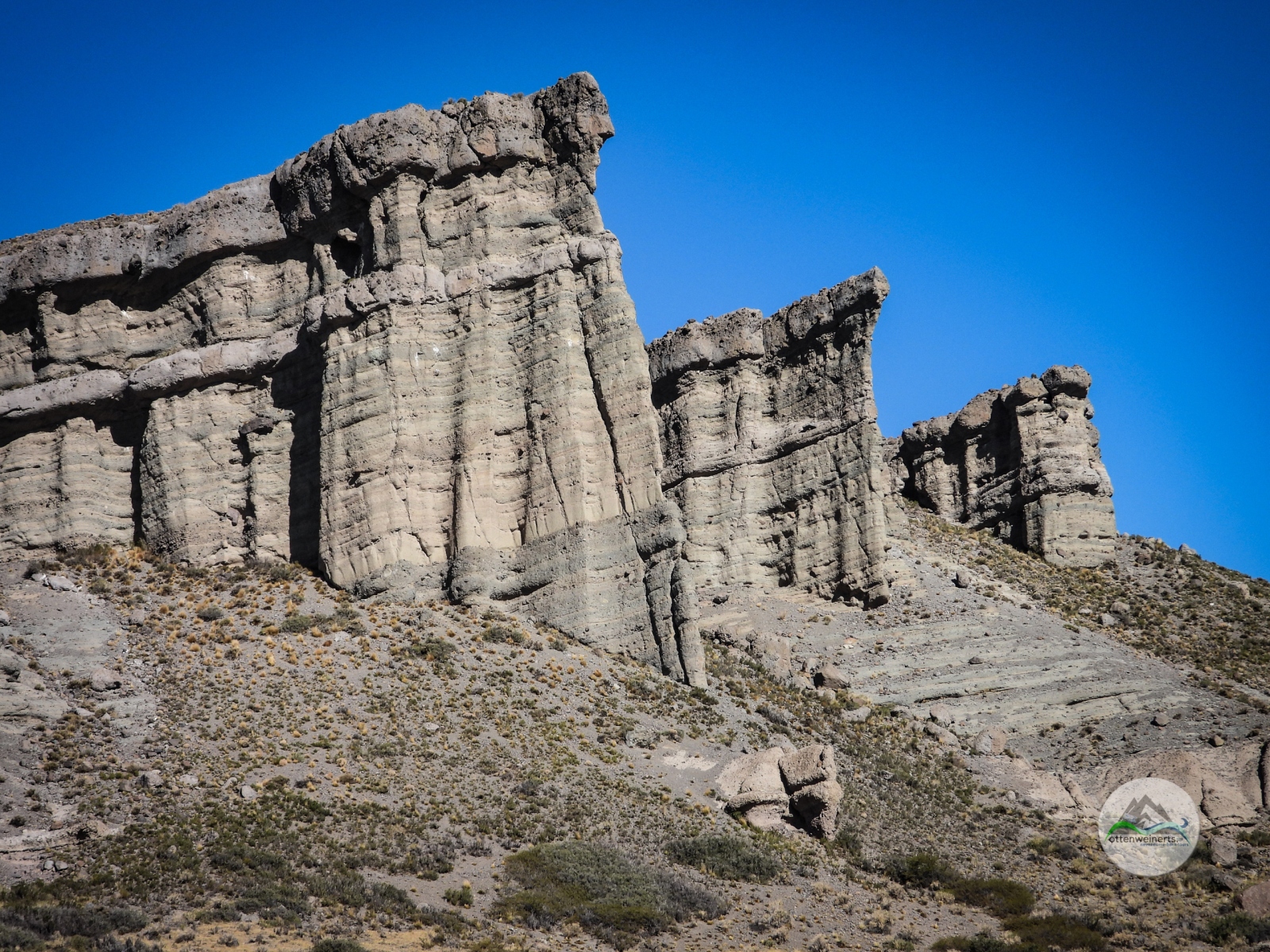
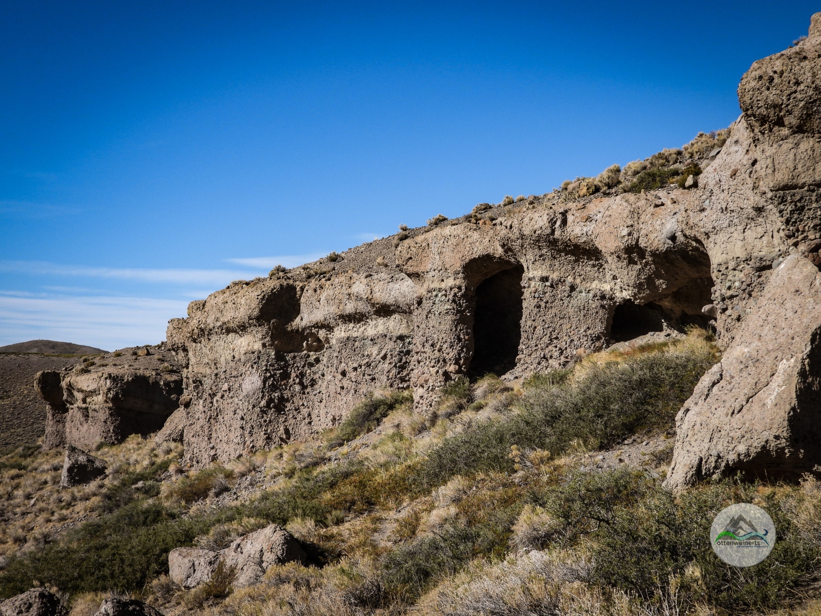
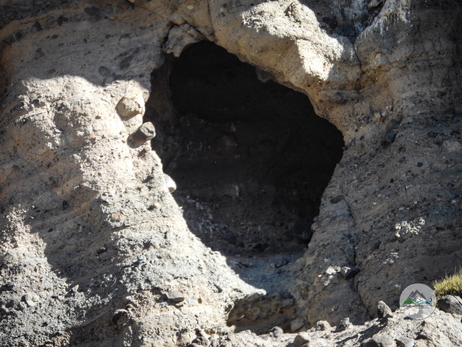
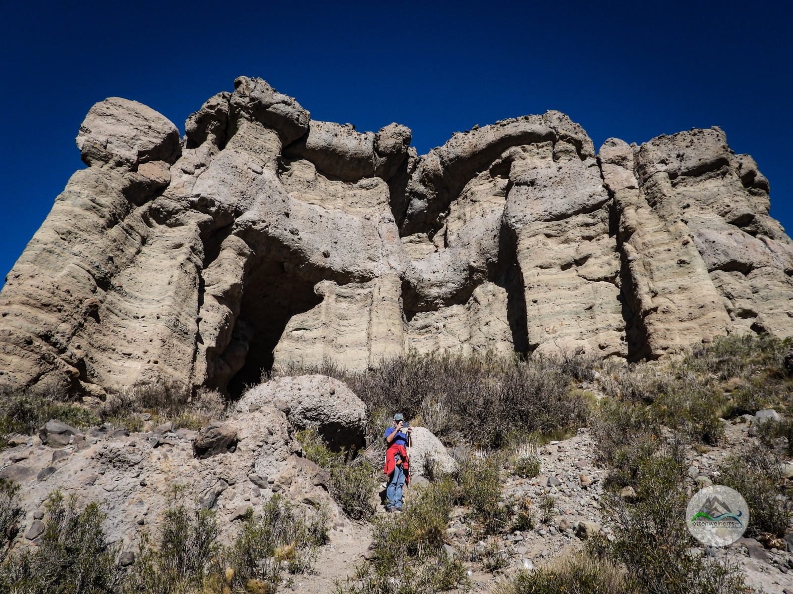
Bis dahin machen wir einen Ausflug, 22km nach Westen (ripio natürlich), zu den Castillos de Pincheira, wundersamen Felsformationen mit Säulen, Simsen und Höhlen. Es ist strahlend schön, endlich wieder warm, und es herrscht eine himmlische Ruhe, wir sind die einzigen Touristen. Es ist keine lange Wanderung, mehr ein kleiner Spaziergang, die wackelnde Holzbrücke ist die größte Herausforderung am Weg. 

Dann geht es zurück nach Malargüe, bei der Pago fácil Filiale stehe ich 15 Minuten in der Schlange, die Einzahlung ist dann in 10 Sekunden erledigt. Damit ist der Höhlenbesuch für morgen fix, wir ziehen uns auf den städtischen Campingplatz zurück – morgen heißt es früh aufstehen, wir müssen ja wieder über eine Stunde zurück nach Süden fahren.

Day 368 / 344 – Malargüe

We had planned to visit the Cuevas de las Brujas, the Witches´ Caves, this morning, but allegedly we need to make a reservation and buy tickets at the tourism office in Malargüe, not on site. That means we have to drive 37 miles north, get tickets and then drive back again. We are not sure if we want to do that, we postpone the decision until we arrive at the tourism office.

First thing we see here is the Malargüe Tower, in the middle of the main street. We get fuel, take a coffee break and then we head to the tourism office. The ladies there are really nice, but it is not possible to get any tickets here; only option is to make an online reservation at the website of the Argentinian National Parks. We tried to get online information yesterday, but we didn´t find this website. The nice ladies assist us in making the reservation, but we can´t pay online – we try to register at one of the Argentinian payment platforms but that works only with a national ID. So, we have to pay cash at one of the Pago fácil outlets in town – after lunch break, of course – meaning after 5 pm (yes, lunch break is from 1 to 5 pm here ….).

In the meantime, we visit the Castillos de Pincheira, 13 miles west of town, ripio of course – impressive rock formations with columns, ledges and caves. It is a beautiful day, nice and warm, and it is peaceful and quiet – we are the only tourists. It is a short and easy walk, the only challenge is the old wooden suspension bridge which doesn´t look very trustworthy.

Then we drive back to Malargüe, I wait in line at the pago fácil outlet for 15 minutes to get the transaction done – which takes 10 seconds. That confirms our reservation for the cave tour tomorrow and we decide to stay right here at the municipal camping lot – we have to get up early tomorrow, we have to drive more than an hour direction south to get to the caves.
Route 230420

230415 – Wanderung im Lanín Nationalpark >

Samstag / Saturday, April 15, 2023

Tag 363 / 339 – Wanderung im Lanín Nationalpark

Nach dem Frühstück brechen wir Richtung Wanderweg zum Wasserfall auf, aber wir kommen nicht weit. Die Piste wird wirklich schlecht, mit Steilstücken und riesigen Löchern, die man noch dazu auf der Strecke im Wald mit Wechsel von Licht und Schatten kaum sieht. Unser armes Krasses Pferd mit seiner stolzen Höhe von 3,50 m schwankt angsterregend hin und her. Wir lassen es daher auf dem nächsten Campingplatz stehen und gehen die restlichen 2 km zu Fuß weiter. Das verlängert zwar die geplante Wanderung beträchtlich, aber es schadet uns nicht, wir sitzen ohnehin genug im Auto und das Wetter ist schön, wenn auch noch etwas kühl.

Unterwegs gesellen sich ein paar Einheimische zu uns – ein weißer Wuschel, zwei Schwarzweiße und einer ganz in schwarz. Sie begleiten uns den ganzen Weg zum Wasserfall, jagen hin und wieder ein Kaninchen unter einem Busch hervor und verbellen ein paar Vögel. Der Wanderweg wurde vor über 10 Jahren von einer lokalen Schulklasse gemeinsam mit den Park Rangern angelegt, Hinweistafeln geben Auskunft über Vegetation und Terrain. Beim Wasserfall angelangt, muss ich die Kamera einpacken – die Gischt sprüht bis zur Aussichtsplattform.

Wir treten den Rückweg an, bestaunen die Baumriesen und das Panorama über den See und verabschieden uns dann von unseren vierbeinigen Begleitern – sie haben uns tatsächlich bis zu unserem Krassen Pferd am Campingplatz begleitet. An unserem Übernachtungsplatz von gestern legen wir eine späte Mittagspause ein und 35 km „ripio“ später verlassen wir den Nationalpark, den Vulkan Lanín sehen wir noch lange im Rückspiegel.

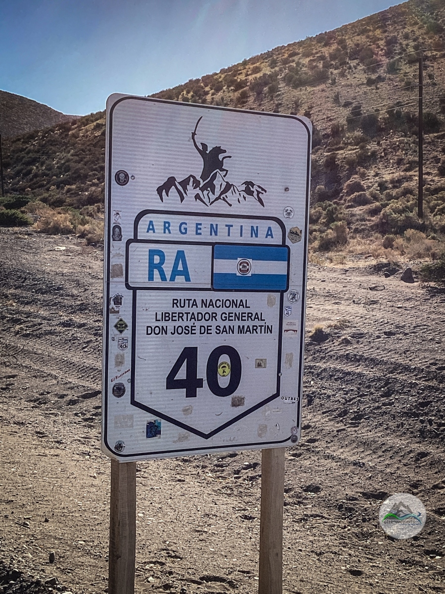
Dann müssen wir uns entscheiden, welche Strecke wir nach Plaza Huincul, unserem nächsten Ziel, nehmen. Die landschaftlich schöne, aber nicht durchgehend asphaltierte R23 nach Aluminé und dann die R13, auch teilweise nicht asphaltiert, oder doch die asphaltierte, wesentlich kürzere und schnellere, aber langweiligere Ruta 40? Gestern und heute „ripio“ reicht erstmal, wir nehmen die R40 und hoffen, wenigstens noch 200 km bis nach Zapala zu kommen. Aber das schaffen wir nicht mehr bei Tageslicht – in der Hälfte bremsen wir uns beim einzigen Shop an der ganzen Strecke ein und fragen höflich, ob wir hier am Parkplatz übernachten dürfen? Ja, gar kein Problem, sagt der nette Señor, der sein Geschäft gerade schließt – und wenn wir sonst irgendetwas benötigen, sollen wir einfach klopfen. Und einen Wachhund bekommen wir auch noch gratis dazu (naja, ein paar Leckerli müssen schon sein).

Day 363 -339 – Walking in Lanín National Park

After breakfast, we start towards the trail to the waterfall, but we don´t get very far. The dirt track leads through the forest, with steep slopes and huge potholes which we can barely see due to the change of light and shadows. Our poor brave camper is swaying from one side to the other, and we feel rather uncomfortable. So we drop our vehicle at the next campsite and walk the remaining distance – that was not the plan, but it doesn´t hurt, we need the exercise anyway, and the weather is beautiful although a bit chill.

On the way, we get company – some locals join us; one of the white with curls, two black and white ones and one pitch-black. The guide us to the waterfall, chasing some rabbits along the way and barking at birds. The trail was established more than 10 years ago by a local school class together with the park rangers, wooden signs offer information about vegetation and terrain. As we arrive at the waterfall, I have to hide my camera, the spray is reaching the viewing platform. 

We start the descend, admiring the huge trees and the great panorama, and then we have to say good-bye to our four-legged companions – they actually stayed with us all the way to our brave camper at the campsite. At the place where we spent the last night, we stop for a late lunch break, and 22 “ripio”-miles later we leave the National Park with the Lanín Volcano still visible in the rear mirror.

Then we have to decide which route to take to our next destination, Plaza Huincul. The nicer, but not completely paved R23 to Aluminé and then R13, also partly unpaved, or the far shorter, faster and completely paved Ruta 40 although leading through less interesting landscape? We´ve had enough “ripio” yesterday and today, so we choose Rute 40, hoping to get at least to Zapala, 125 miles north. But we are not fast enough, it is dusk already as we stop at the only store on the route, and ask the nice owner if we may stay on the parking lot for tonight? Yes, absolutely no problem – the señor is just closing his shop for the night but if we need something we should just knock on the door. Additionally, we get a guard dog free of charge (well, he works for a few treats).

Route 230415

230325 – Wandertag zum FitzRoy >

Samstag / Saturday, March 25, 2023

Tag 342 / 318 – Wandertag zum FitzRoy

Ermutigt durch unsere gestrige erfolgreiche Bewältigung des Huemul-Trails und beflügelt durch Sonnenschein und blauen Himmel nehmen wir heute den Sendero FitzRoy in Angriff; den kalten Wind ignorieren wir erstmal. Der ganze Trail ist 10 km lang, das letzte Stück mit Schwierigkeitsgrad „hoch“ führt sehr steil bergauf zur Laguna de los Tres – das planen wir nicht, aber zumindest die ersten beiden Teilstücke bis zum Camp Poincenot nahe dem Río Blanco möchten wir gehen, der Rest wird sich ergeben. 

Vom Beginn des Trails sehen wir kurz unser braves Krasses Pferd, das sich unten am Parkplatz ausruht, der nächste Mirador bietet nach Norden einen Ausblick über das Tal des Río de las Vueltas bis zum Lago Cóndor, und nach Süden bis zum Lago Viedma. Dann geht es weiter, abwechselnd durch den Wald (kaum Wind, aber auch keine Sonne, daher kalt) und durch herbstlich bunt gefärbte Flächen mit niedrigen Büschen (Sonne, aber keinerlei Windschutz, daher auch kalt). Nach 4 km gabelt sich der Weg, wir gehen rechts Richtung Mirador FitzRoy. Der Anblick der schneebedeckten Gipfel und des Gletschers ist einfach umwerfend. 

Wir marschieren weiter, immer auf den majestätischen Berg zu, der Weg ist hier relativ eben und recht einfach zu gehen. Nach insgesamt etwa 8 km erreichen wir wieder ein Waldstück mit ein paar Pfützen am Weg, wo zwei Caranchos (südliche Cara-caras) völlig unbeeindruckt trinken und Körperpflege inklusive Pediküre machen. Sie sind Menschen ganz offensichtlich gewöhnt. Ein paar hundert Meter später wissen wir auch, wieso – hier liegt das Camp Poincenot, und einige der intelligenten Vögel beobachten mit Argusaugen die Habseligkeiten der Camper – sobald sie unbeobachtete Vorräte finden, wird geplündert. 

Wir sind noch immer motiviert und marschieren weiter – von hier sind es noch 2 km bis zur Laguna de los Tres. Wir überqueren den Río Blanco, der weitere Weg ist nicht besonders fordernd – bis wir zu einer Stelle im Wald kommen, wo ein Hinweisschild den Wanderer darauf aufmerksam macht, dass für das letzte Teilstück gute körperliche Verfassung unbedingt erforderlich ist. Grund: 400 m Anstieg auf 1 km Distanz. Wir können uns darunter nicht wirklich etwas vorstellen und stapfen weiter. 
Der Weg wird steiler und enger, und es herrscht ziemlich dichter Verkehr – ganze Busladungen von Wanderern kommen uns entgegen, und im Vorbeigehen hören wir, auf deutsch: „die Ärmsten! Wenn die wüssten!“. Die Gruppe ist zu schnell vorbei zum Fragen, und sobald wir die Baumgrenze erreicht haben, sehen wir, was gemeint war: ein unglaublich steiler Anstieg wäre noch zu bewältigen bis über den letzten Grat, und zwar über Geröll. Wir kämpfen uns noch etwa 100 m weiter, dann bleiben wir stehen – und in stiller Übereinstimmung geben wir auf. Wir würden das letzte Stück mit großer Kraftanstrengung und sehr langsam vielleicht noch schaffen, aber es ist schon nach 15 Uhr, wir sind jetzt schon müde und müssen ja auch noch über 9 km zurückwandern. Also lassen wir der Vernunft den Vorrang vor unserem Ehrgeiz – und ob dieses unerhörten Ereignisses sind wir auch nicht enttäuscht, sondern einigermaßen zufrieden mit uns selbst – immerhin haben wir 90% des Trails und damit mehr als geplant geschafft. 

Am Rückweg passieren wir die idyllische Laguna Capri, von dort sind es noch 4 km bis zu unserem Krassen Pferd. Dass die Entscheidung umzukehren eine gute war, bemerken wir jetzt erst richtig – mein linkes Knie protestiert bei jeder Streckbewegung, die linke Hüfte mault beim Beugen, und beide Schultern schmerzen vom Rucksack; Sigi leidet still vor sich hin, marschiert aber tapfer als mein Schrittmacher und Motivator vor mir her. Müde schleppen wir uns die letzten eineinhalb Stunden zum Parkplatz hinunter; insgesamt waren wir 8,5 Stunden unterwegs und haben über 20 km zurückgelegt. 

Day 342 / 318 – FitzRoy Trail

Motivated by our successful lake Huemul trail hike yesterday and by blue sky and sunshine, we decide to go the FitzRoy trail today, ignoring the very cold west wind. The complete trail is 6,2 miles long, the last part being, leading up to the Laguna de los Tres, very steep and difficult – we are not planning to go that far, but we want to do the first two parts of the trail to Camp Poincenot near Río Blanco, and then we´ll see.

From the beginning of the trail, we catch a glimpse of our brave camper, resting on the parking lot; the next mirador offers a great view of the valley of Río de las Vueltas with Lake Cóndor to the north, and Lake Viedma to the south. The path continues, partly through woods (sheltered from the wind, but also in the shadows, therefore cold) and also through open mountain flanks with low bushes in glorious autumn colors (sun, but no wind shelter, therefore – cold, too). After 2,5 miles, we turn right to the FitzRoy viewpoint – and the view of the snow- and ice-covered mountains and the glacier is breathtaking.

We march on, straight towards the majestic mountain, the path is rather level and easy to walk. After about 5 miles, in the wood, there are some puddles on the path; two Caranchos (southern Cara-caras) are sitting there, drinking from the puddles and grooming each other. They are obviously not afraid of humans. A few hundred yards later we know, why – there is Camp Poincenot, and some of these intelligent birds are watching the stuff of the campers. As soon as they spot unattended provisions, they steal whatever seems edible.
Still highly motivated, we march on – it´s only 1,25 miles more to the Laguna de los Tres. We cross Río Blanco, the path is still doable for us, then we find a sign at a little resting area in the wood, informing the hikers that excellent physical condition is necessary for the last part of the trail. The reason: a steep slope – 1.312 ft upwards on a distance of 0,6 miles. Unable to imagine what that really means, we keep on walking. 
The path gets steeper and narrower, and there is heavy traffic – whole busloads of hikers are on their way; passing a group of German speaking people, we hear “oh those poor people, if they only knew!” They are gone too fast, we can´t ask what this means, but when we reach the tree line, we know what it means: an incredibly steep slope, between boulders, filled with rubble, leading over the last ridge. We fight our way up for about 300 ft more, then we stop, look at each other – and, in silent agreement, give up. We might be able to conquer the last part, very slowly and with our last bit of strength, but it is already past 3 pm and we have to walk all the way back again. So, we choose good sense over ambition – which is an achievement in itself; therefore, we are to some extent pleased with ourselves – after all, we conquered more than 90% of the trail, far more than planned.

On the way back, we pass by the idyllic Laguna Capri; from there, it´s still 2,5 miles back to our brave camper. And now we realize, that the decision to turn around was the right one – my left knee and my left hip hurt at almost every movement, and both shoulders are sore because of the heavy backpack. Sigi suffers in silence, bravely marching in front as pacemaker and motivator for me. Tired, we drag ourselves the last 90 minutes to the parking lot; in total, we covered 12,5 miles in 8,5 hours.

230315 – Ein Faro, ein Fort und frierende Flamingos >

Mittwoch / Wednesday, March 15, 2023

Tag 332 / 308 – Ein Faro, ein Fort und frierende Flamingos

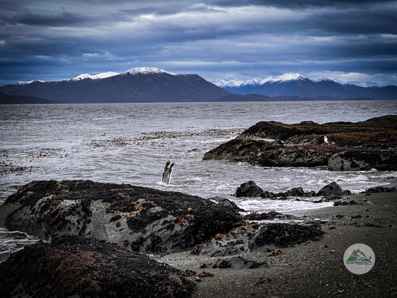
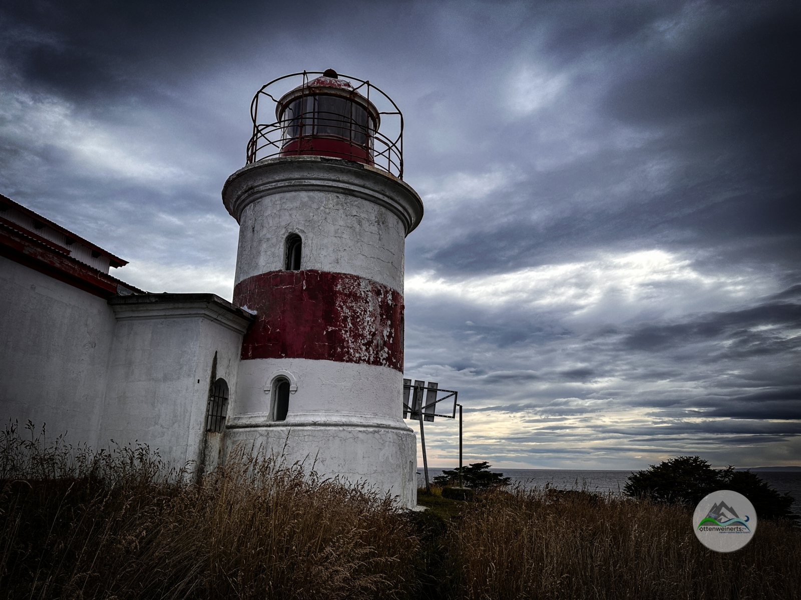
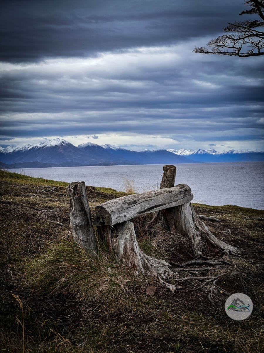
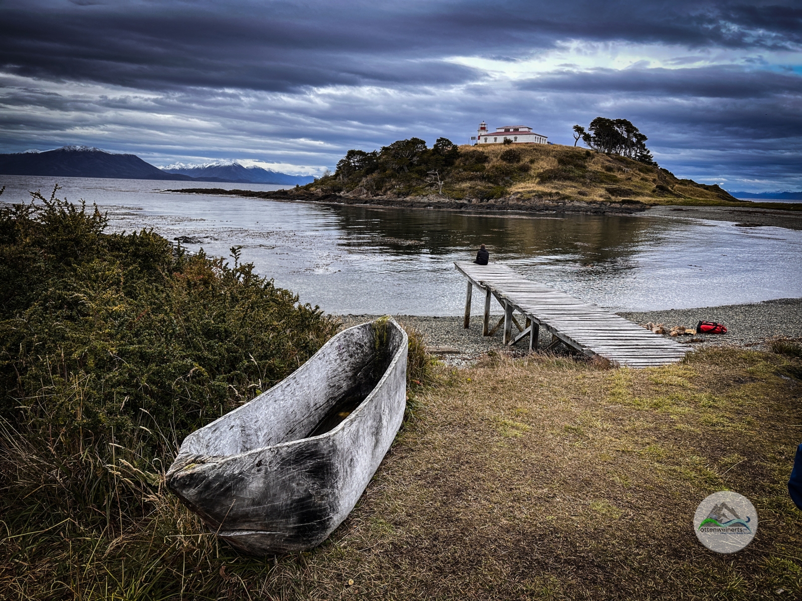
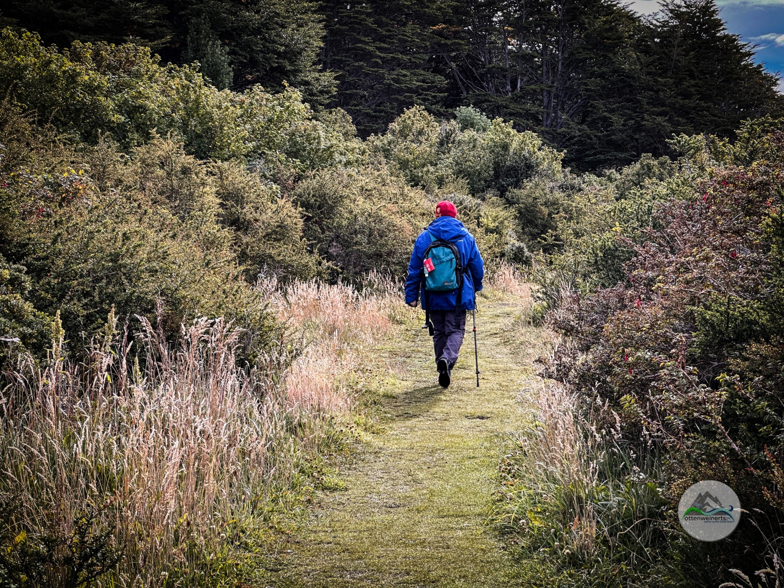
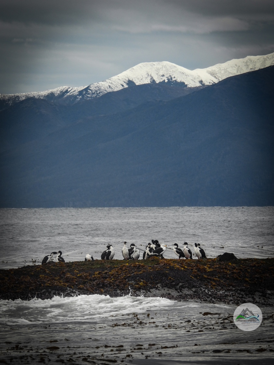
Vor 2 Tagen haben wir mit einem netten Pärchen aus Punta Arenas geplaudert, die uns den Besuch vom Leuchtturm, Faro San Isidro empfohlen haben. Das wären vom Parkplatz am Ende der Ruta 9 angeblich 4 km Spazierweg, in angeblich 1,5 Stunden lässig zu bewältigen. Nach dem Frühstück packen wir also Wanderschuhe und Stecken aus und marschieren los. Die Landschaft ist wunderschön, einsam und wildromantisch, rechts Wald, links die Wasser der Magellan-Straße, im Hintergrund schneebedeckte Berggipfel. Nach ein paar hundert Metern führt der Pfad aus dem Wald heraus und auf den Strand, und ab jetzt wird´s mühsam. Der Untergrund ist abwechselnd nasser Sand, der sich an die Schuhe heftet, loses Geröll, in dem man einsinkt und wegrutscht oder feuchte glitschige Felsen und dazwischen glitschiger, feuchter Kelp. Zwischendurch sind vier kleine Bäche zu überqueren – ohne Brücken natürlich. Nach 3 km sehen wir endlich das Leuchtturm-Gebäude – aber das schaut noch sehr weit weg aus! Im Endeffekt haben wir dann 6 km zum Faro San Isidro zurückgelegt. Aber die Aussicht ist ein Traum – vor uns die Magellanstraße, im Hintergrund die Darwin-Kordillere, am Strand und im Wasser jede Menge Kormorane, Gänse, Enten und Möven. Außer uns sind noch drei weitere Touristen da – aus Baden-Württemberg.

Das Leuchtturmgebäude ist geschlossen, durch eines der Fenster sieht man ein fein säuberlich ausgebreitetes Walskelett, sowie Werkzeug, Farben und Planen. Vielleicht wird das mal ein Museum, wer weiß. Wir machen uns auf den Rückweg, und diese nochmals 6 km sind jetzt wirklich anstrengend, das Geröll am Strand rutscht, der Sand klebt und die Schuhe sind mittlerweile feucht. Völlig erledigt kommen wir nach fast 5 Stunden wieder bei unserem Krassen Pferd an. Es ist bereits nachmittag und wir sind hungrig, aber viel zu müde zum Kochen. Wir fahren die paar km zurück Richtung Fuerte Bulnes, fallen in der Cafeteria im Besucherzentrum ein und gönnen uns eine Pizza. 

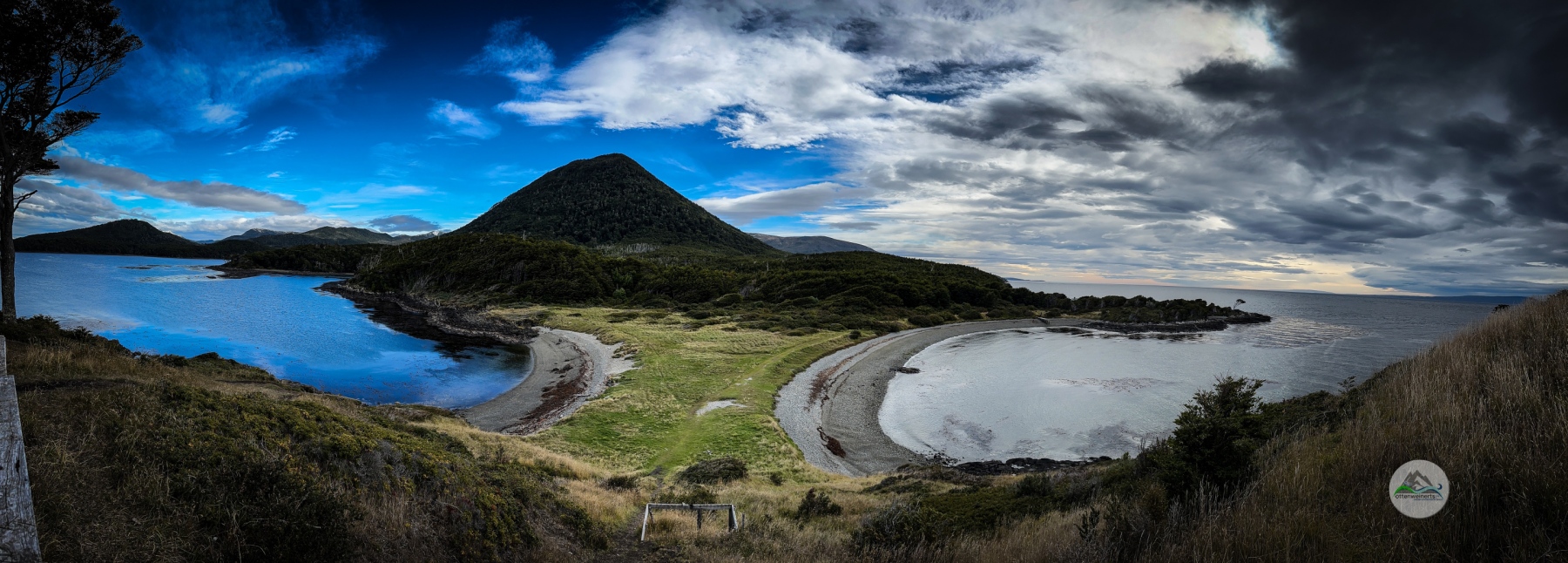
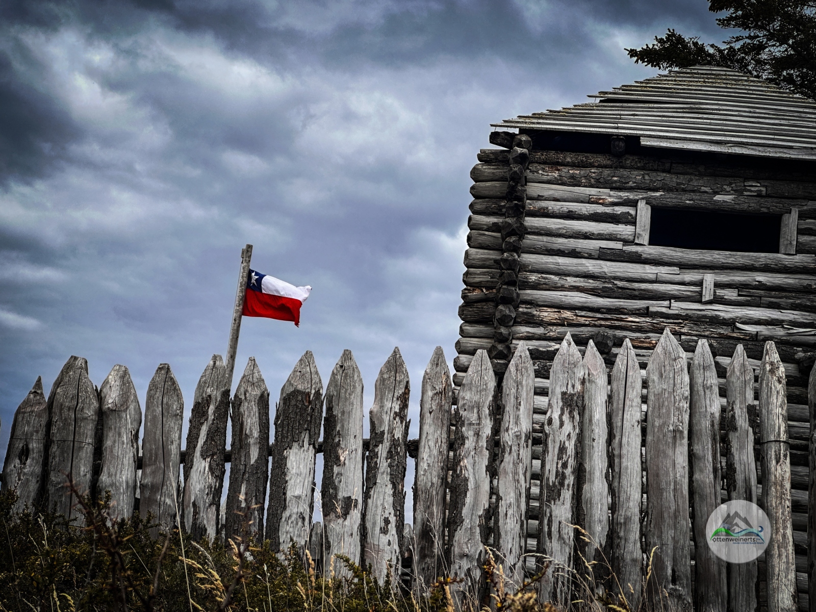
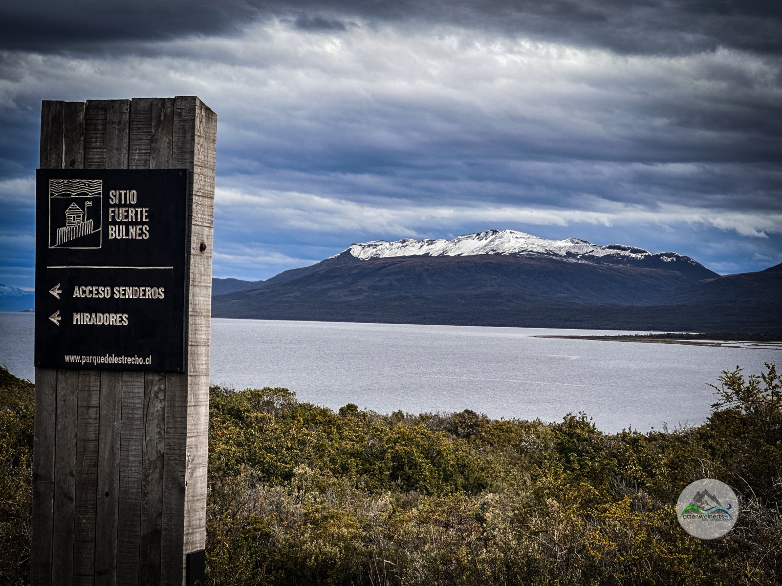
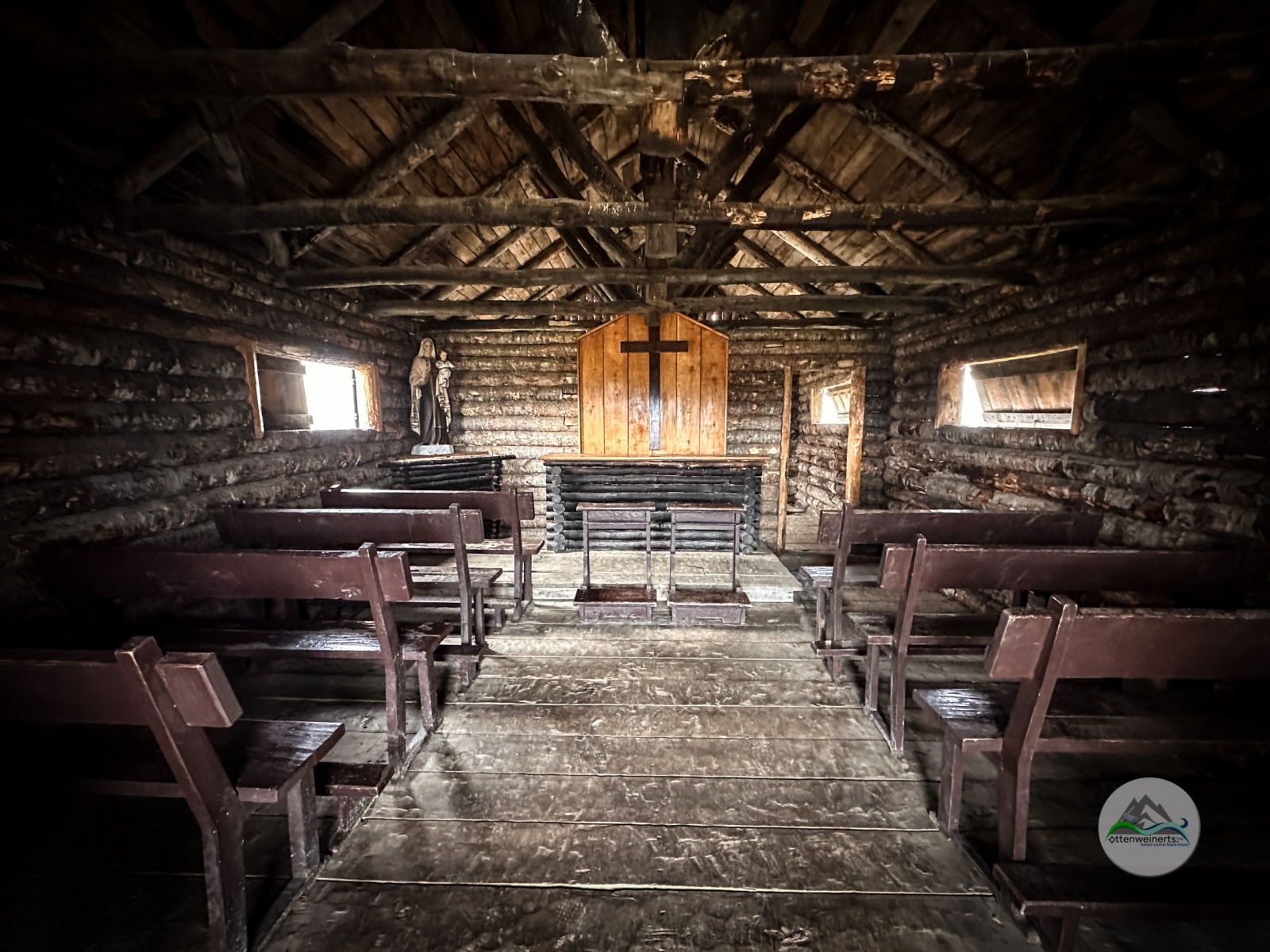
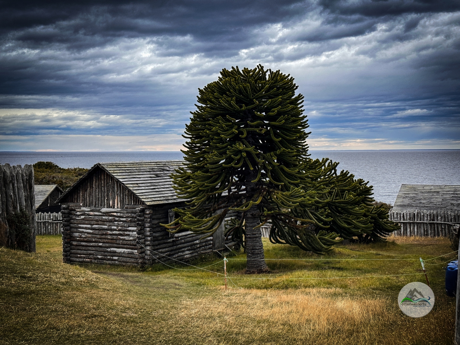
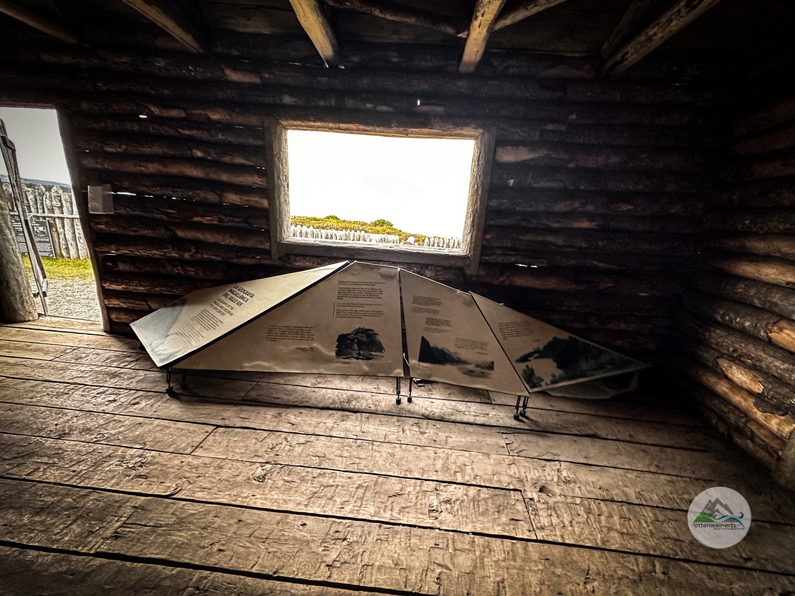
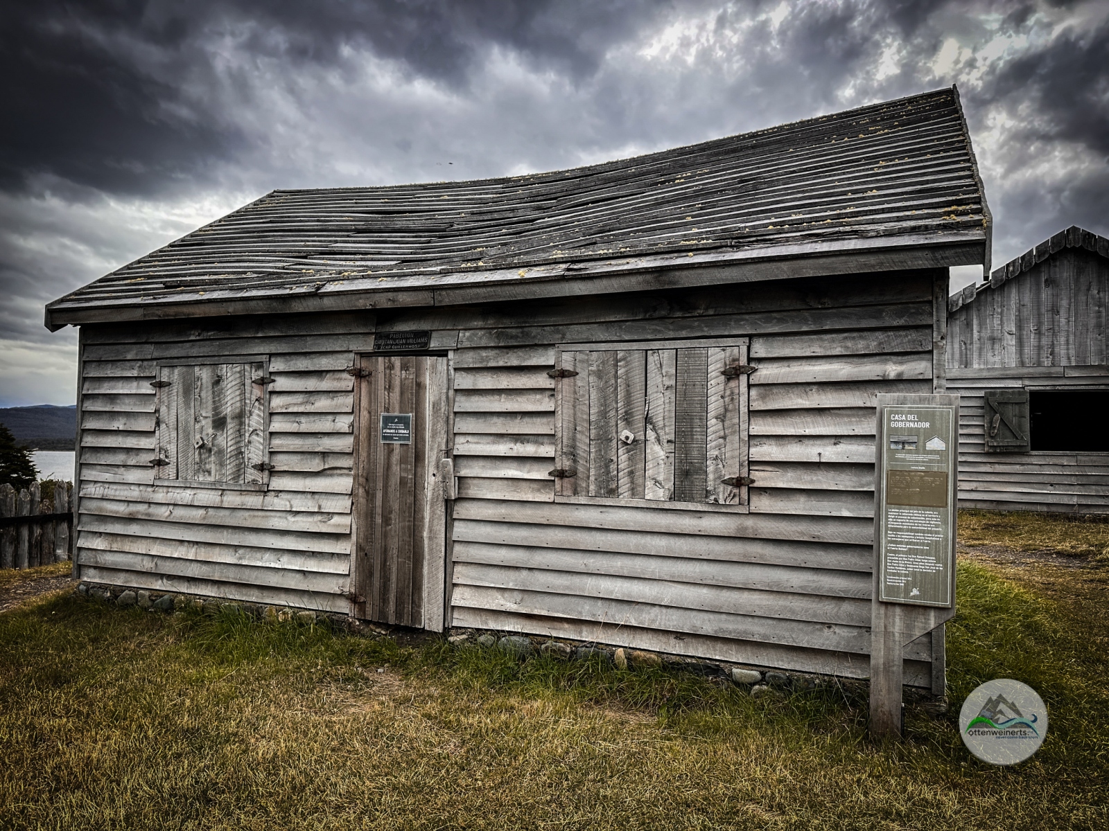
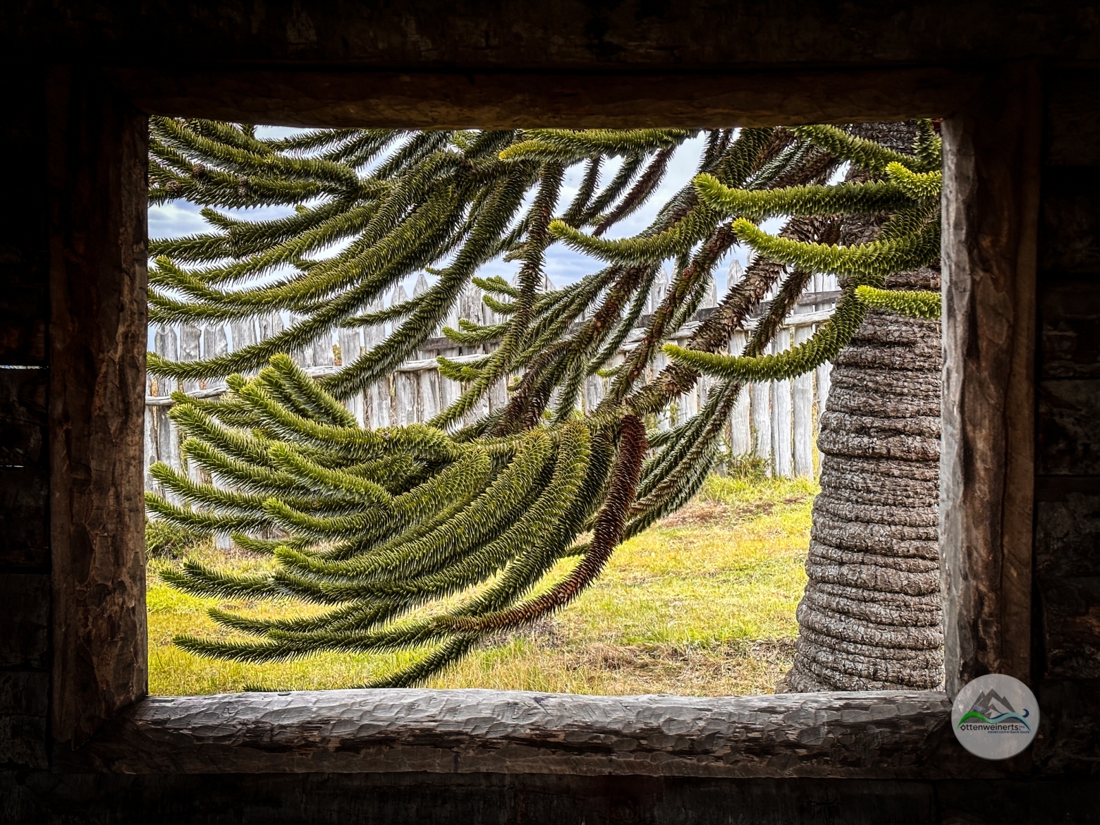
Nach einem Kaffee kehren die Lebensgeister zurück, und wir besuchen zuerst das sehr gut gemachte Museum im Untergeschoss des Besucherzentrums. Geologie, Fauna und Flora der Region sind auf spanisch und englisch gut erklärt, sowie die Geschichte von Fort Bulnes, der ersten spanische Siedlung. Fort Bulnes wurde rekonstruiert – die Lage des Forts ist zwar malerisch und bietet gute Aussicht, aber weder Trinkwasser, noch Weideflächen oder Ackerland, daher wurde das Fort aufgegeben und die nördlich gelegene Bucht von „Sandy Point“ als neuer Standort auserkoren – das heutige Punta Arenas.

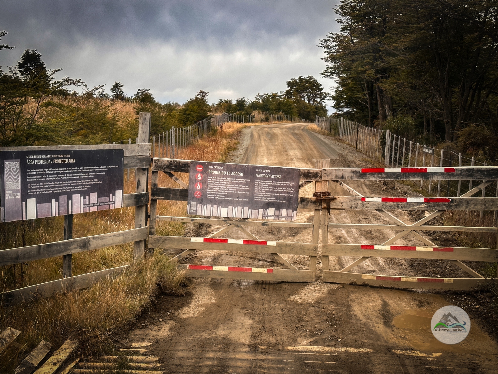
Vom Mirador aus sehen wir in die nächste Bucht, wo ein Denkmal an die unglückliche Siedlung Rey Felipe erinnert: 37 Kolonisten sollten dort das Land für den spanischen König in Besitz nehmen und urbar machen. Ohne ausreichend Vorräte und Nachschub überlebte ein einziger der Siedler, der 3 Jahre später vom englischen Piraten Cavendish gerettet wurde. Alle anderen verhungerten, und der Ort wurde in „Hungerhafen“ – Puerto Hambre – umgetauft. 

Am Rückweg nach Punta Arenas sehen wir wieder eine Schar rosa Hühnchen auf Stelzen. Für mich waren und sind Flamingos untrennbar mit Sonne und Sommer, Urlaub und Wärme verbunden. Gut, es ist gerade Sommer hier, die Sonne scheint auch und wir sind auf Urlaub, aber Wärme? Nicht wirklich. Und eigentlich sehen die Vögel auch aus, als wäre ihnen kalt, die Hälse eingefahren und die Schnäbel im Gefieder versteckt. Verständlich, es bläst kalter Wind. Und der begleitet uns nach Punta Arenas, wo wir uns nochmals für die Nacht an der Costanera einparken.

Day 332 / 308 – A faro, a fort and freezing flamingoes

2 days ago, we chatted with a nice local couple who recommended visiting the lighthouse, Faro San Isidro – an easy walk of 1,5 hours over a distance of 2,5 miles, starting at the parking lot at the end of Ruta 9. After breakfast we put on our hiking boots, take the walking sticks and start the hike. The landscape is beautiful – woods to our right, water to our left and snow-covered mountains in the background. After a few hundred yards, the path leaves the forest and leads down to the beach – and from now on the hike gets tiresome. We walk on either wet sand which sticks to our shoes, on loose pebbles or on moist, slippery rocks with slippery, moist marine vegetation. We have to cross four small creeks, without bridges, of course. After almost 2 miles we can see the lighthouse building in the distance, but it looks still far away – and it is, 2 more miles to walk on the beach. But it was worth it, the view from the lighthouse is breath-taking – the Strait of Magellan to our feet, the Darwin Cordillera in the back and a lot of wild fowl on the beach and in the water. Only three other tourists are here – and they are from Germany.

The building is closed, through one of the windows we can see a complete whale skeleton, tools and paint. Maybe this building will be a museum in the future. We start the 4 miles hike back which turns out to be really exhausting, on the loose pebbles, on the sticky sand and over the creeks, where our shoes get wet. After almost 5 hours, we are back at our brave camper, hungry, but too tired to cook. We drive the few miles back to Fuerte Bulnes, go straight to the cafeteria at the visitor center and order pizza.

After lunch and coffee, we feel better, and visit the very interesting museum. Geology, fauna and flora of the region are explained in Spanish and English, and also the history of Fort Bulnes, the first Spanish settlement. The Fort has been reconstructed – the location is very scenic, but there is neither fresh water nor land for agriculture; therefore, the settlers gave the fort up and moved to a new location further north, called Sandy Point – today´s Punta Arenas.

From the mirador, we see the monument in the bay north of Fuerte Bulnes, reminder of the tragic story of the settlement Rey Felipe: 37 colonists went ashore, but didn´t have enough supplies to survive in the harsh climate. Only one man survived, he got rescued by the English pirate Cavendish three years later. All the others starved to death, therefore the place was renamed Puerto Hambre – Hunger Haven. 

On the way back to Punta Arenas we see a flock of pink chicken on stilts again. For me, flamingoes are a synonym of sun and summer, vacation and warmth. Ok, it is summer here right now, the sun is shining and we are on vacation, but warmth? Not really. And the birds do look as if they were cold, with their necks folded and their beaks tucked into their feathers. A cold wind is ruffling their feathers, and the wind accompanies us to Punta Arenas, to our parking spot at the costanera.

Route 230315